Land Planning Architecture

Designing Communities People Actually Want to Live In

Every successful neighborhood — the ones with full sidewalks, thriving storefronts, and residents who stay for decades — starts long before the first building permit is issued. It starts with a land plan.

At Lessard Design, land planning is the foundation on which everything else is built. For more than three decades, our planners and architects have worked alongside developers, municipalities, and landowners to turn raw acreage, underused parcels, and aging commercial corridors into places with genuine staying power. We’ve done this work across the country and internationally, from waterfront districts in the nation’s capital to master-planned communities in the mid-Atlantic suburbs, and the throughline in all of it is the same: a land plan should reflect how people actually live, not just how a site is zoned.

This page walks through what land planning involves, why it matters more now than it did a generation ago, how to evaluate whether a site is ready for a serious planning effort, and how our process moves a property from a blank parcel map to an approved, buildable, marketable community.
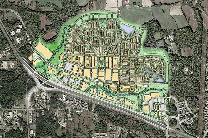
What Is Land Planning?

Land planning is the discipline of organizing a property — its streets, open spaces, building sites, utilities, and natural features — into a coherent, functional, and financially viable community. It sits at the intersection of architecture, civil engineering, market analysis, and public policy, which is why it’s often the most consequential (and most frequently underestimated) phase of a real estate project.

A land plan answers the questions that determine whether a development succeeds or struggles for the next fifty years: Where do cars go, and where do people go instead? How does a new neighborhood connect to the streets, schools, and retail that already exist around it? Which parts of the site should stay natural, and which can support density? How many units, of what type, can the site support while still meeting a jurisdiction’s zoning and entitlement requirements — and while still producing a place worth living in?

Done well, land planning is largely invisible. Residents don’t think about the setback requirements or the stormwater management strategy that shaped their street; they just notice that the neighborhood feels walkable, that the park is in the right spot, and that traffic isn’t a daily fight. Done poorly, the opposite is just as visible: cul-de-sac subdivisions with no connectivity, retail pads that turn their backs on the street, and open space that nobody uses because nobody can reach it.

Why Developers and Municipalities Invest in Strategic Land Planning

Land planning isn’t a formality on the way to construction drawings — it’s where a project’s value is created or lost. Here’s what a disciplined planning process delivers.

A Land Plan That Maximizes Achievable Density and Yield

Zoning codes set the ceiling, but few sites naturally achieve it. A well-organized plan — one that accounts for grading, easements, required open space, and parking ratios up front — routinely unlocks more buildable units or square footage than a first-pass layout, directly improving a project’s return on investment. People don’t live in zoning. Planning can set a vision that may benefit owners and stakeholders.

Faster, Smoother Entitlements

Jurisdictions approve plans that make their job easy. A land plan built around a municipality’s comprehensive plan, complete-streets policy, and stormwater regulations moves through public hearings with far less friction — and far fewer costly redesigns — than one that ignores local priorities from the start. Everyone should strive for a win-win.

A Development That’s Easier to Market and Finance

Lenders and investors have seen enough failed developments to be skeptical of ambiguous site plans. A land plan with a clear identity — a defined street hierarchy, a legible open space network, a recognizable sense of place — in short, a vision. This gives brokers, appraisers, and capital partners a coherent story to sell, which shortens the path to financing.

Genuine Long-Term Placemaking

The communities people remember — the ones with a namesake square, a waterfront promenade, a Main Street that functions as one — were planned that way from day one. Placemaking isn’t landscaping applied after the fact; it’s baked into the block structure, the street widths, and the relationship between buildings and public space.

Resilience and Sustainability Built into the Bones

Stormwater, tree canopy, and site hydrology are far cheaper to manage well when they’re part of the initial land plan than when they’re retrofitted later. Integrating low-impact development techniques, preserved natural buffers, and efficient grading from the outset reduces both environmental impact and long-term maintenance costs for the eventual homeowners’ association or municipality.

What Makes a Site a Strong Candidate for Master Planning?

Not every parcel presents the same opportunities or constraints. Before we put pen to paper, we evaluate a site against five core factors that shape what’s realistically achievable.

A parcel adjacent to an established downtown, a transit line, or existing neighborhoods has a very different planning logic than a greenfield site at the edge of a region. We study the surrounding street grid, land uses, and market activity to understand how a new plan should connect — rather than compete — with what’s already there.

Grading, floodplains, wetlands, and mature tree stands aren’t obstacles to plan around at the last minute; they’re often the organizing structure for the best plans. A ravine can become a linear park. A floodplain can become the community’s central green. Reading the land’s natural systems early prevents expensive engineering surprises later.

How a site connects to the surrounding road network — and how internal streets are organized once you’re inside it — determines whether a neighborhood feels open and walkable or closed off and car-dependent. We look hard at existing access points, planned transportation improvements, and opportunities to create a genuine street network rather than a single point of entry.

Some jurisdictions have flexible, form-based codes that reward creative mixed-use plans. Others require variances or rezoning for anything beyond conventional single-use development. Understanding the entitlement path early — and building relationships with planning staff — shapes both the design and the schedule.

A land plan must answer to the market it’s built for. We evaluate what product types — single-family, townhome, multifamily, retail, office, hotel, mixed-use — the site’s location, price point, and absorption context can realistically support, so the plan isn’t just buildable, it’s sellable.

How Lessard Design Approaches Land Planning

Our land planning work is grounded in a simple belief: a plan should be shaped by the people who will eventually live, work, and gather there, not just by the parcel lines on a survey. That means we spend real time understanding a site’s context — its neighbors, its natural systems, its market position, and the cultural and regional character of the area — before a single lot line goes down.

Because Lessard Design is also a full-service architecture firm, our land planners work side by side with the architects who will eventually design the buildings on the sites we plan. That integration matters. A plan that’s disconnected from architectural reality often needs costly rework once building design begins; a plan developed in tandem with architecture anticipates unit types, building footprints, and construction realities from the outset. It’s also why our planning teams routinely bring a marketing and financial lens to the table, analyzing land use scenarios against absorption data and investment return targets so that what gets approved is also what will perform.

Our work spans the full spectrum of community types: new master-planned neighborhoods on greenfield sites, infill and redevelopment plans for underused urban and suburban parcels, and large-scale waterfront and mixed-use districts that reposition entire segments of a city. Across all of it, we bring a global perspective shaped by projects on multiple continents, paired with a close, on-the-ground understanding of the codes, culture, and market conditions specific to each site.

Our Land Planning Process

Every site is different, but our approach follows a consistent, disciplined sequence designed to reduce risk and surprises at every stage.

1

Site and Market Discovery

All land values compete with different uses. It must work by the numbers first and that includes phasing of infrastructure. We begin with a comprehensive analysis of the property: topography, existing conditions, environmental constraints, comparable developments, and the applicable zoning and comprehensive plan framework. This phase also includes early conversations with jurisdictional staff to understand local priorities and likely points of scrutiny.

2

Concept and Alternative Land Use Planning

We develop multiple land use and yield scenarios — often testing several development programs against the same site — so ownership and its financial partners can compare density, product mix, and infrastructure cost trade-offs before committing to a direction.

3

Preferred Plan Development

Once a preferred concept is selected, we refine it into a detailed master plan: street network, block and lot configuration, open space and amenity locations, phasing strategy, and preliminary infrastructure concepts, all coordinated with civil engineering.

4

Entitlement and Approvals Support

We prepare the plans, renderings, and narrative materials needed for rezoning applications, planning commission hearings, and community meetings, and we represent the plan directly in front of staff and elected officials alongside the ownership team.

5

Design Handoff and Implementation

As approvals are secured, we transition the plan into architectural design guidelines, building envelopes, documentation that carry the vision through construction, ensuring what gets built matches the plan that got approved.

Land Plans We're Proud Of

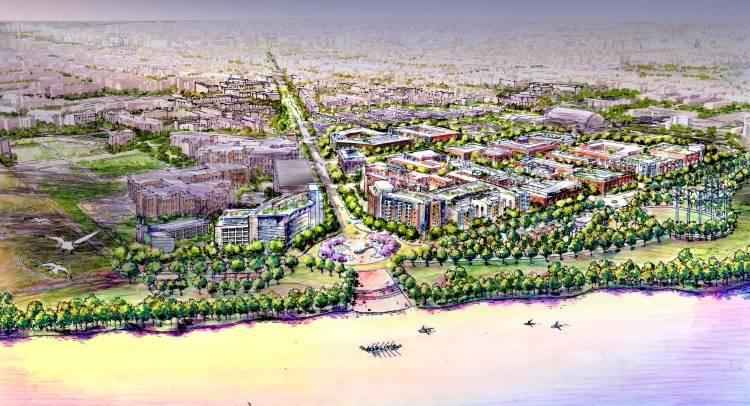
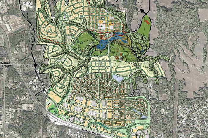
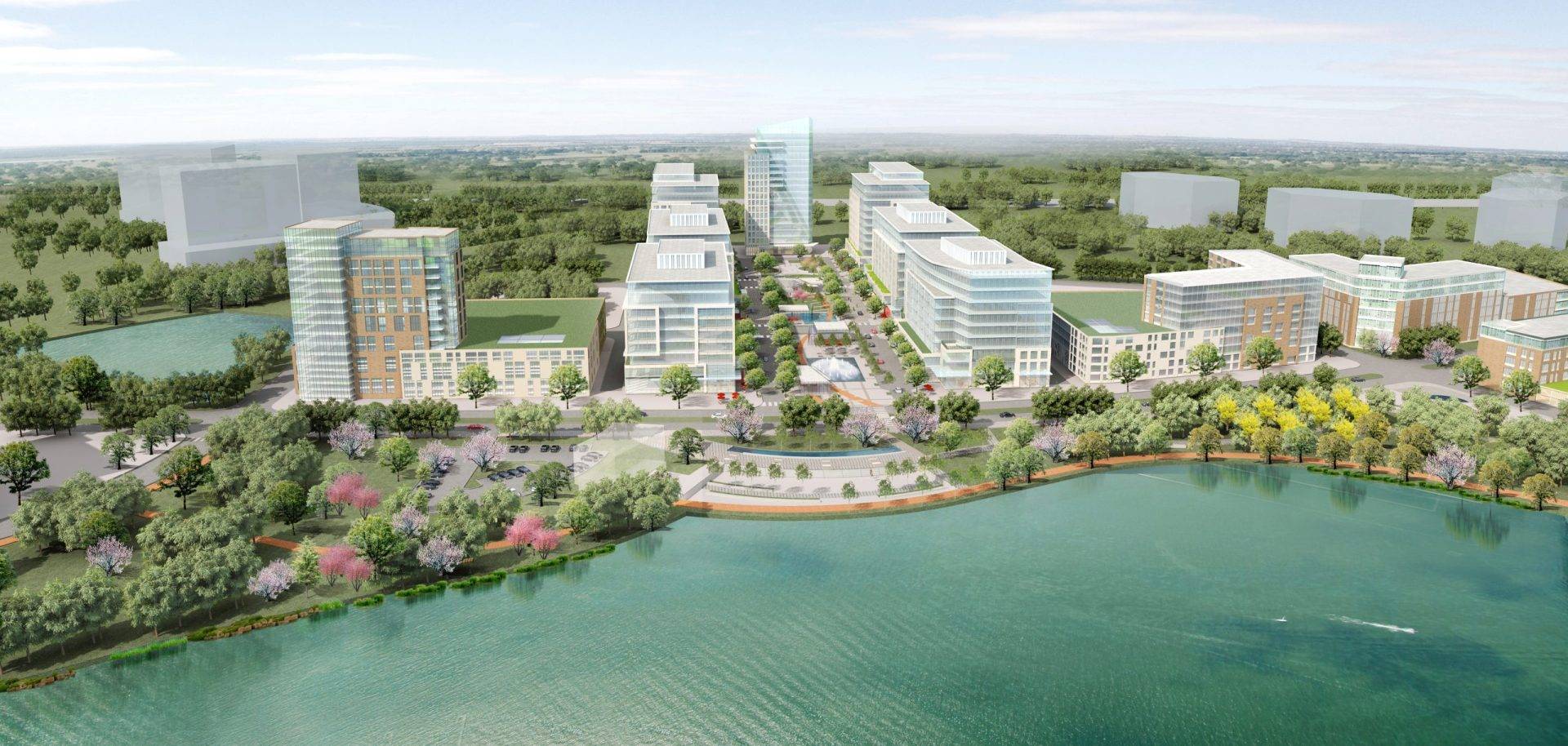
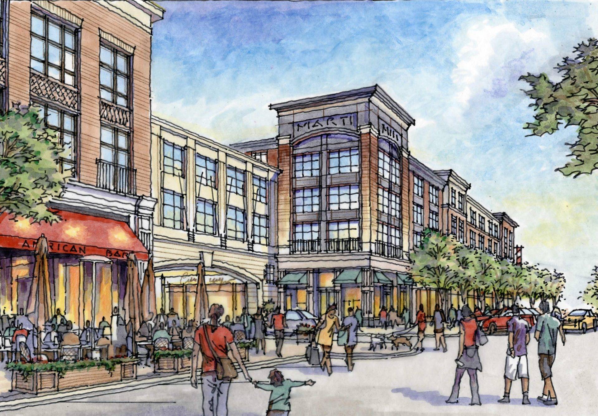
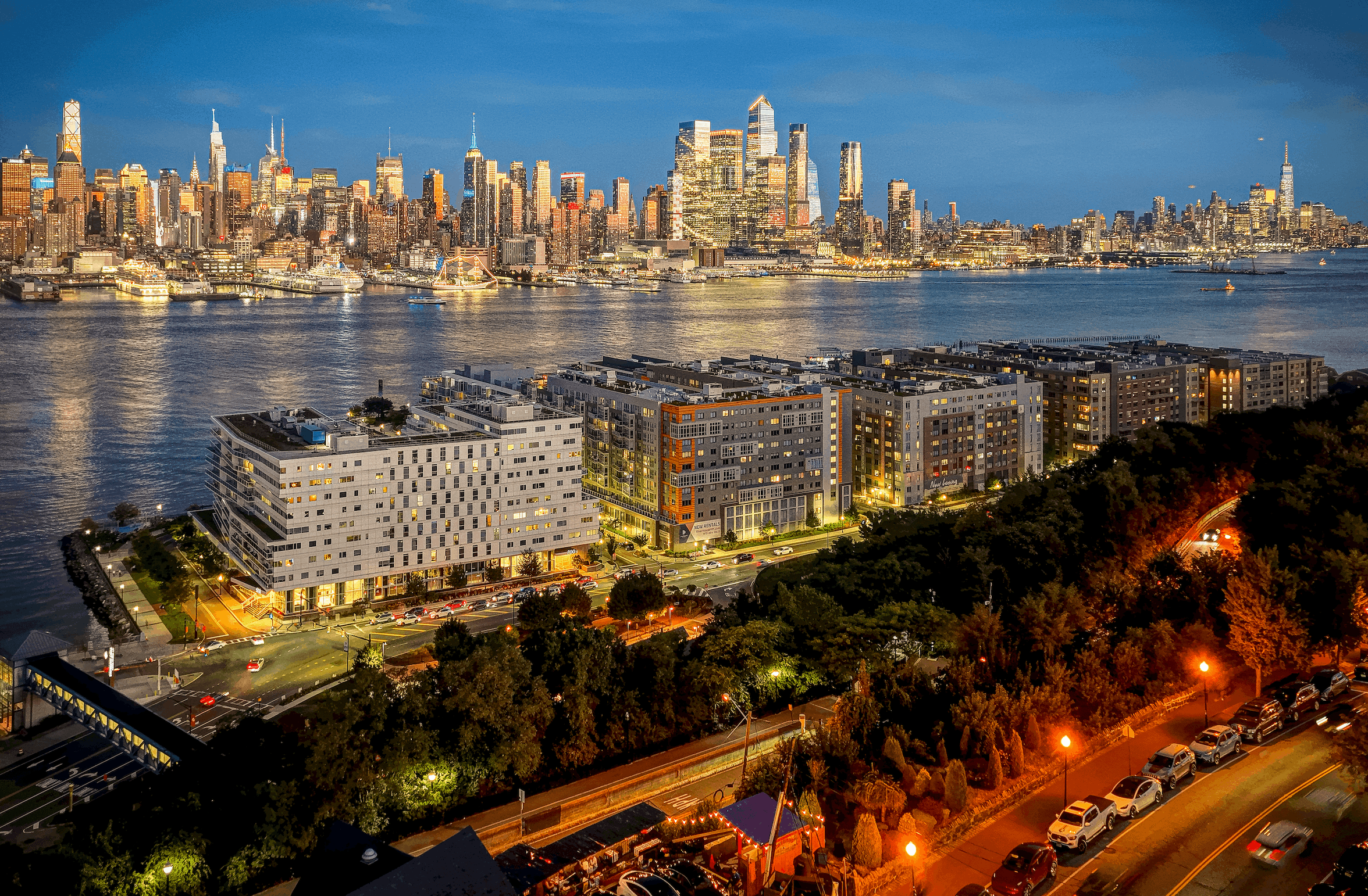
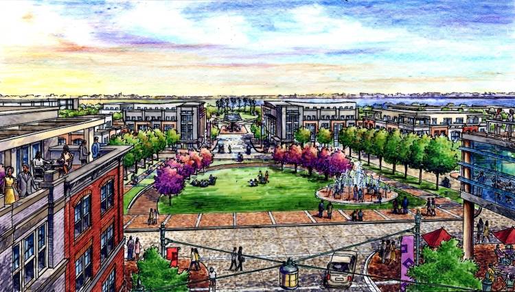
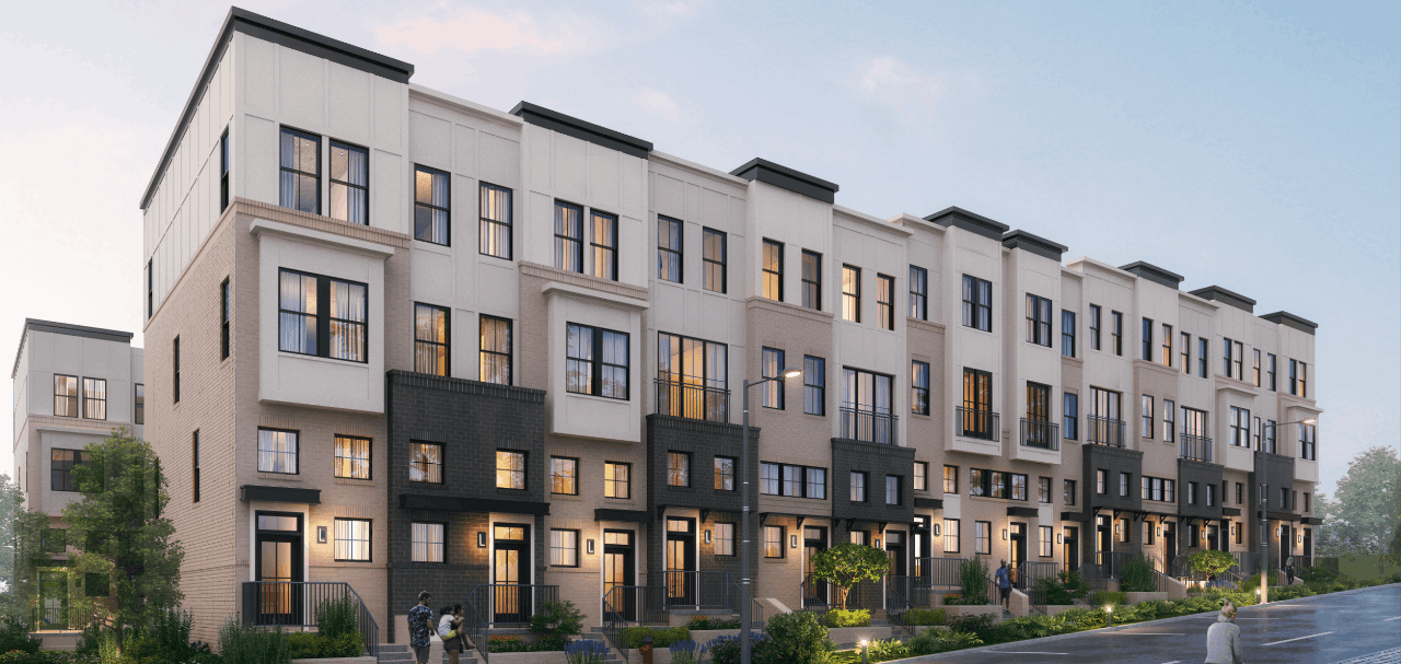
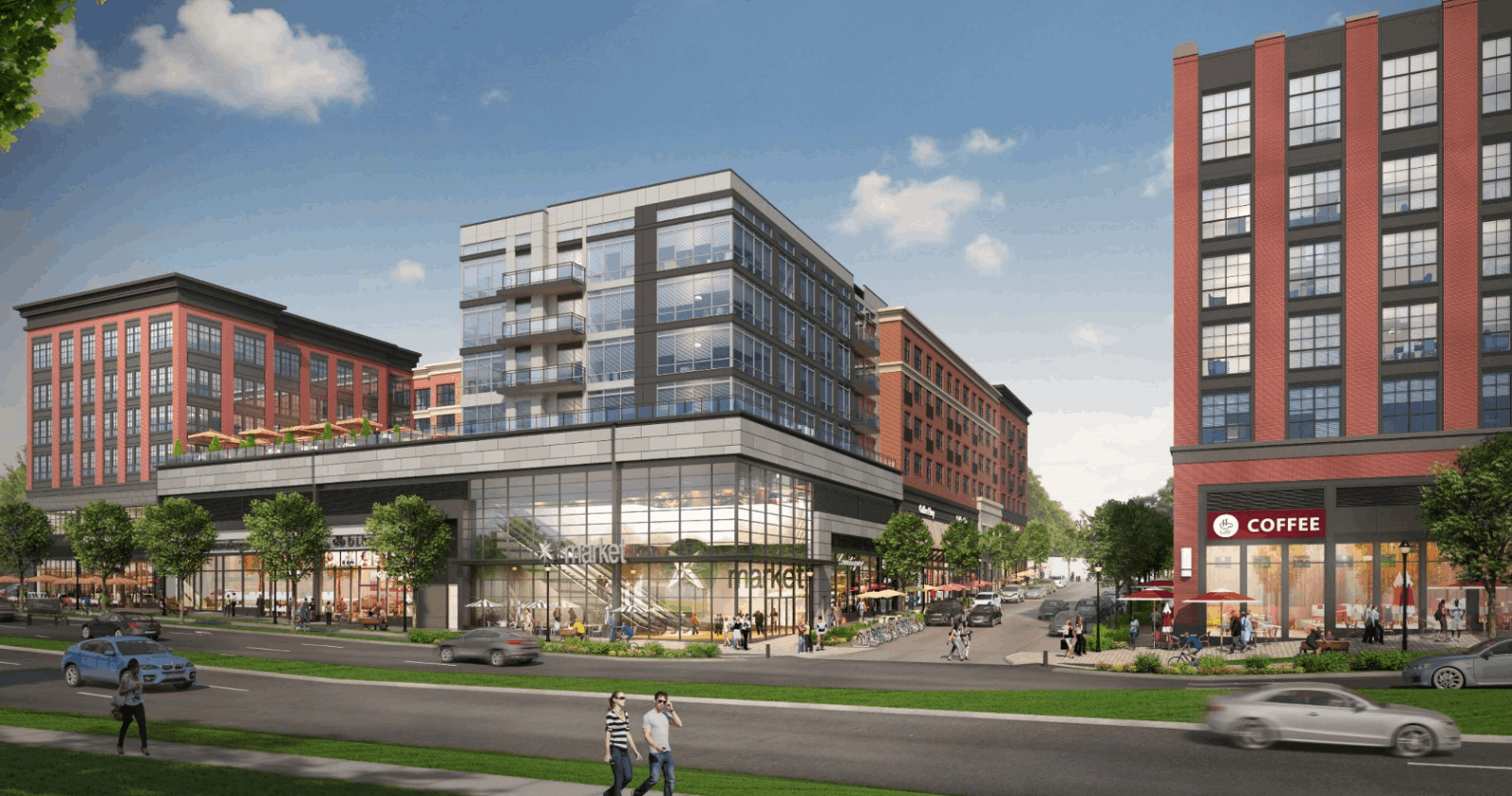
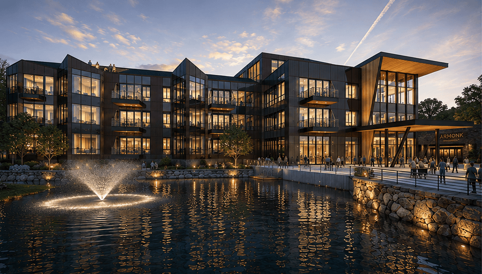
Our land planning portfolio includes projects that range from waterfront urban districts to large suburban master-planned communities:

Each of these projects required a distinct planning strategy shaped by its site’s natural features, its jurisdiction’s regulatory framework, and its market’s specific demand — but each shares the same commitment to creating a place with genuine identity, not just an approved plat.

Why Clients Trust Lessard Design with Their Land Plans

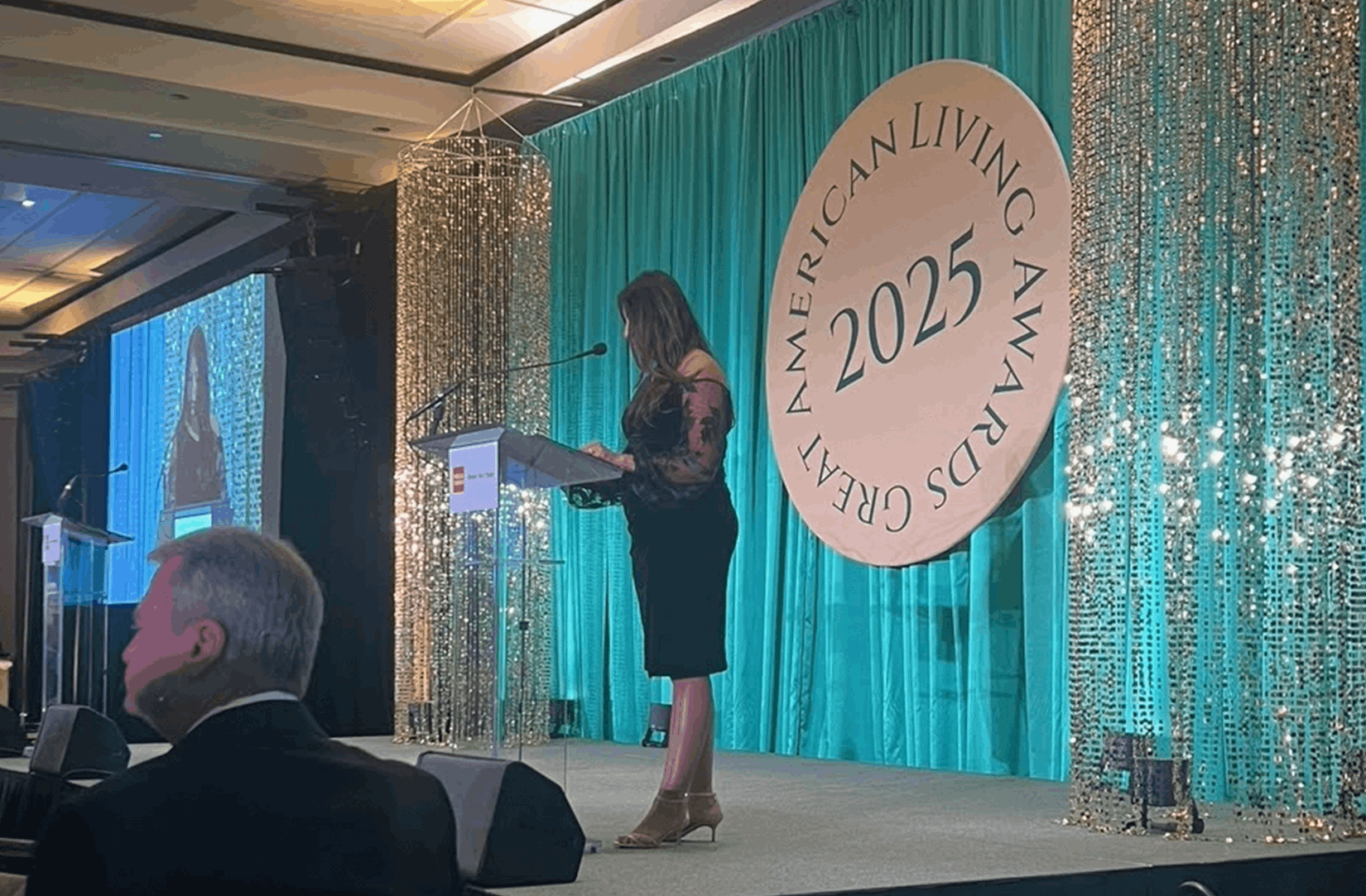
Our land planning team has been recognized with multiple Urban Land Institute BALA (Best in American Living) Awards, GAHBA Obie Awards, and GALA Awards for community and site planning excellence, reflecting both peer recognition within the industry and consistent delivery for the developers and municipalities we work with.

Land Planning FAQs

Timelines vary widely depending on the jurisdiction, the scale of the project, and whether rezoning is required. A straightforward site plan under existing zoning can move in a matter of months; a large-scale rezoning for a master-planned community can take a year or more once public hearings, environmental review, and community engagement are factored in. We build realistic schedules into every project from the discovery phase so ownership can plan financing and construction timelines accordingly.

Yes. A well-conceived land plan with secured entitlements is itself an asset — it de-risks a property for future buyers, lenders, and joint venture partners by demonstrating a clear, approved path to development. Many of our clients engage us specifically to plan and entitle a property in advance of a future sale or capital raise.

Both. Our portfolio includes multi-hundred-acre master-planned communities as well as smaller urban infill and redevelopment parcels. The planning discipline scales differently at each size, but the underlying commitment to connectivity, context, and market fit stays the same.

Because we’re an integrated architecture and land planning practice, our land plans are shaped by people who also design the buildings and public spaces that will eventually occupy them. That means fewer disconnects between what gets entitled and what gets built, and a plan that reflects real-world architectural and market constraints from day one — we are not limited to standard product but can change the given with innovative design, backed by decades of multifamily, mixed-use, and community planning experience across the U.S. and internationally.

Let's Plan Your Next Community

Whether you’re evaluating a raw parcel, repositioning an underused property, or planning a large-scale mixed-use district, our land planning team can help you understand what’s achievable — and how to get there. Schedule a consultation with our team to discuss your site.

Schedule a Consultation

LATEST NEWS